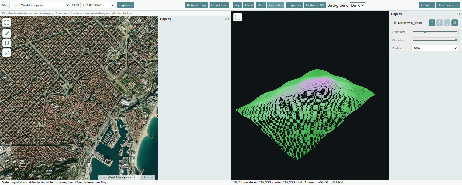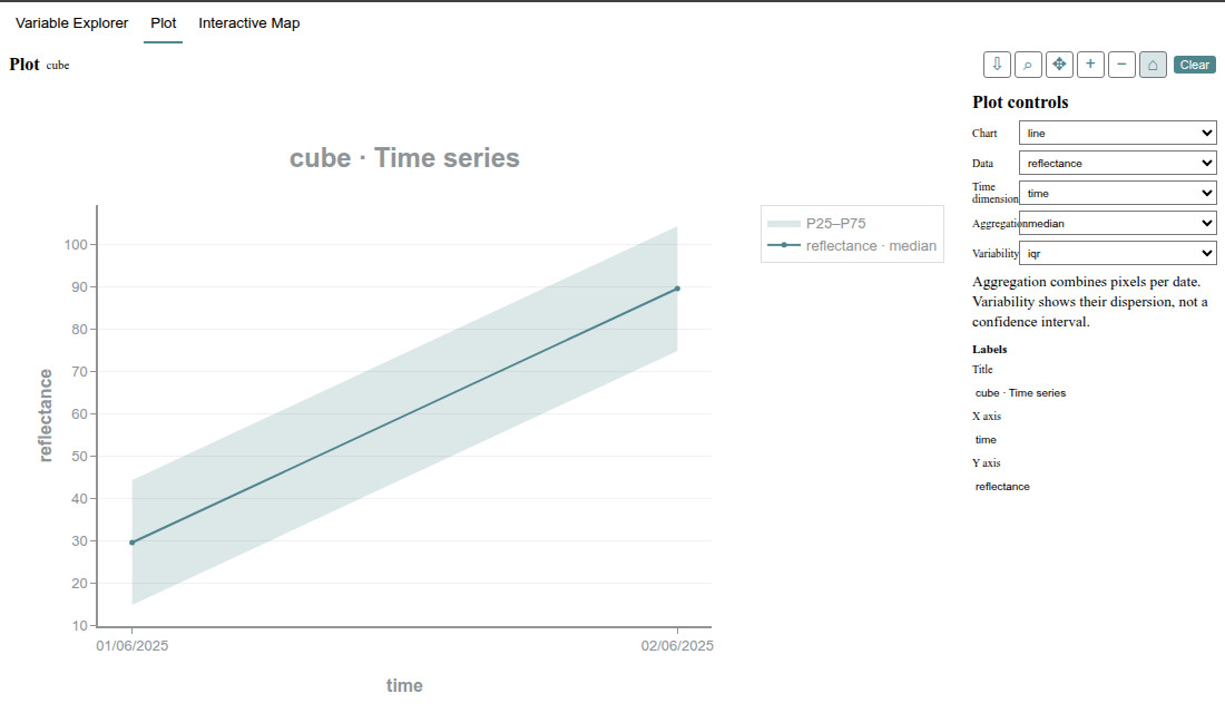

GeoIDEEarth Data Science GIS, Scientific Variables and Interactive Maps for Visual Studio Code. Interactive Python Console · Variable Explorer · Scientific Plots · Geospatial Views GeoIDE keeps Python execution, scientific data inspection and spatial exploration together in one workspace. Run code, inspect the variables it creates, then move directly into an interactive map or plot. Interactive Map — 2D and 3D
Esri World Imagery is the default worldwide satellite background. It is requested directly from Esri's public tile endpoint, without a GeoIDE API key, account, payment method or proxy. Esri controls its availability and terms. Interactive Plots
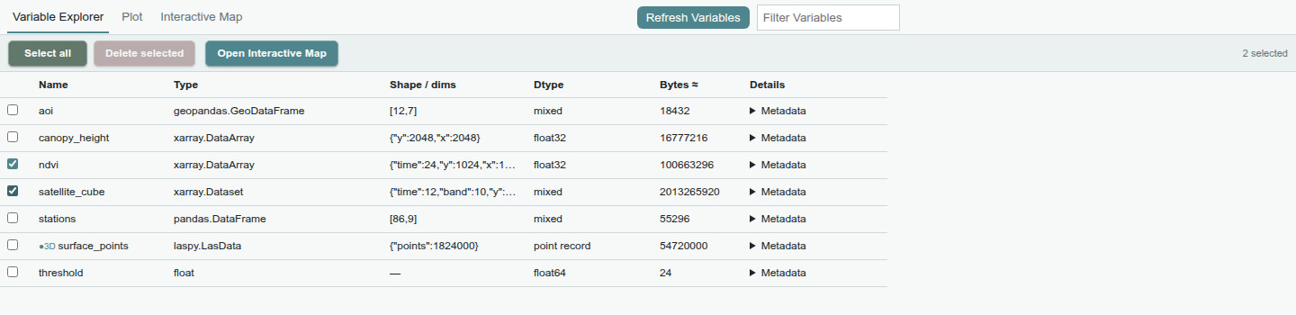
Variable Explorer
Get startedGeoIDE requires Visual Studio Code 1.90 or later and a Python environment with these runtime packages: Install the scientific packages you use in that same environment, for example:
Geospatial features use the corresponding packages from your environment, such as GeoPandas, Rasterio, rioxarray or laspy. GeoIDE never installs or updates Python packages automatically. Controls
Interrupt cancels the current execution where possible. Restart starts a fresh Python session. Stop ends it and clears its variables. Separate Python files use independent sessions. Privacy, scope and supportPython runs in the selected environment on the Visual Studio Code workspace host. GeoIDE has no analytics telemetry and no hosted data-upload service. Online backgrounds contact their tile providers directly, so those providers receive the connection IP and the tile coordinates needed for the visible map. Choose None dark or None light for a background that does not use an online map service. Large spatial datasets use bounded interactive previews; a preview is not a full-resolution export. GeoIDE does not provide Python breakpoints, remote Python-server connections, general widget support, browser-only workspaces or virtual workspaces. For questions and reproducible problems, use the public GeoIDE support and issue tracker. The support repository contains documentation and the product license, not GeoIDE's proprietary development source. GeoIDE is free to use, including for commercial work, under the proprietary license included in the extension. No subscription is required for this version. Third-party components and online services retain their own licenses, terms and visible attribution. See |