🌍 Planetary Computer MCP — VS Code Extension
Access petabytes of Earth observation data through GitHub Copilot in VS Code.
A Visual Studio Code extension that configures the Planetary Computer MCP server for GitHub Copilot, enabling AI assistants to query satellite imagery and geospatial data directly within VS Code.
This extension registers an MCP server for the Microsoft Planetary Computer STAC catalog, allowing GitHub Copilot to search and download satellite imagery, DEMs, land cover data, and vector datasets.
Note: This extension configures the Python-based Planetary Computer MCP server. See the main repository for the server implementation.
Sample Outputs
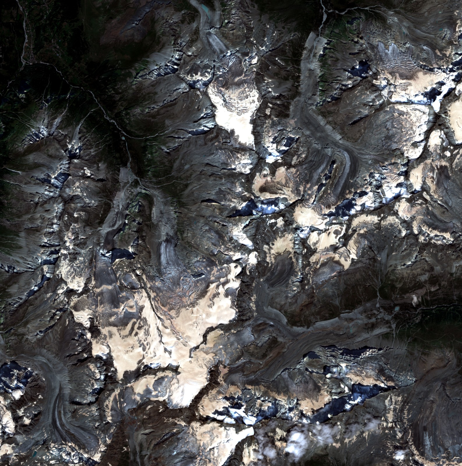
Sentinel-2
Alps |
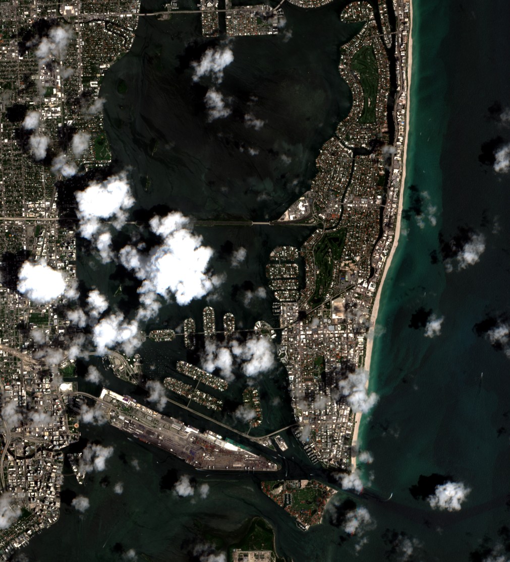
Sentinel-2
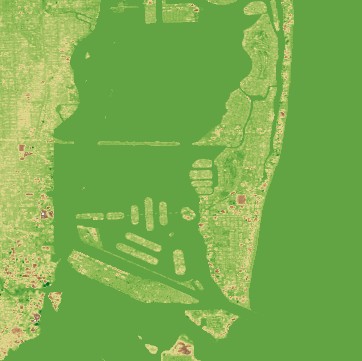
Miami |

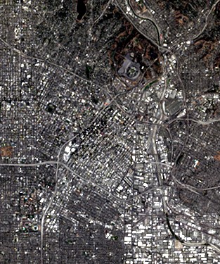
NAIP
Seattle |

NAIP
Los Angeles |
HLS L30
Los Angeles |

MODIS
Bay Area |
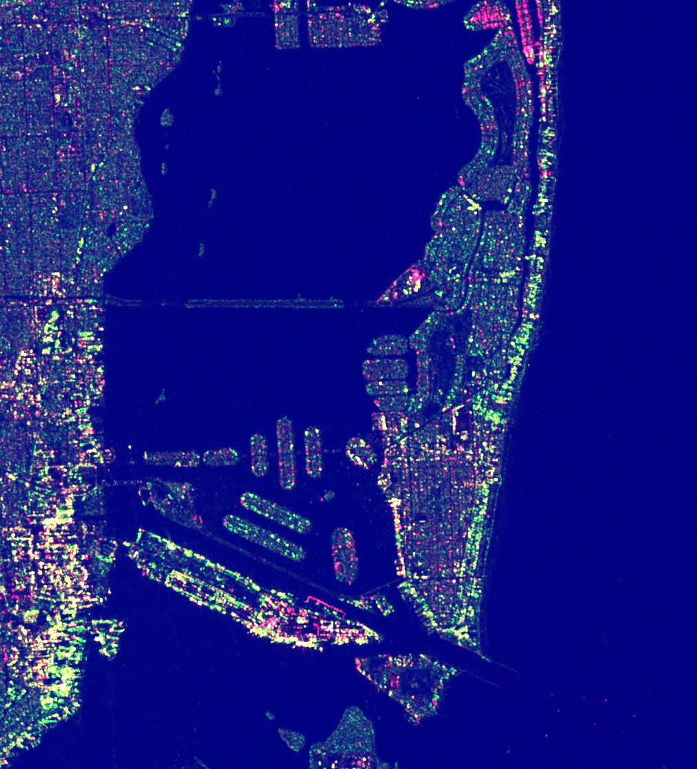
Sentinel-1 SAR
Miami |
Copernicus DEM
Miami |
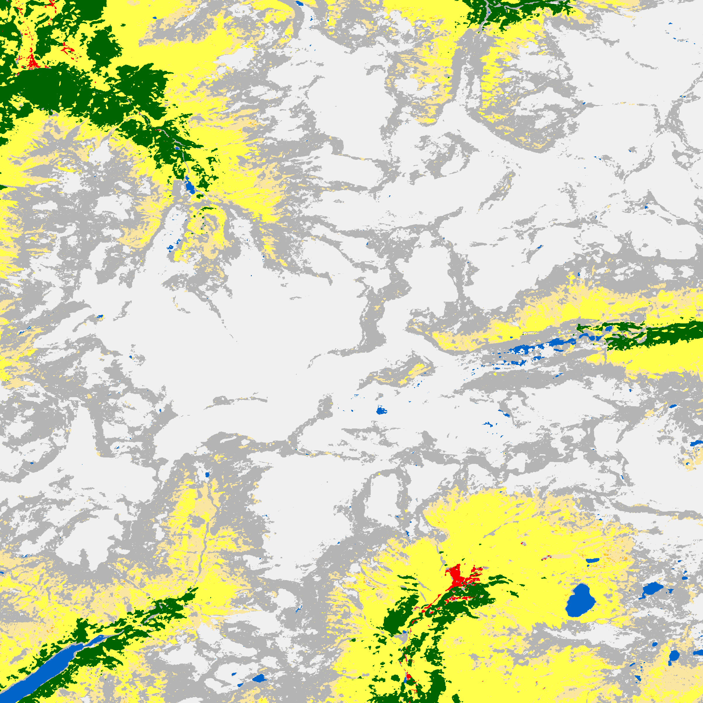
ESA WorldCover
Alps |
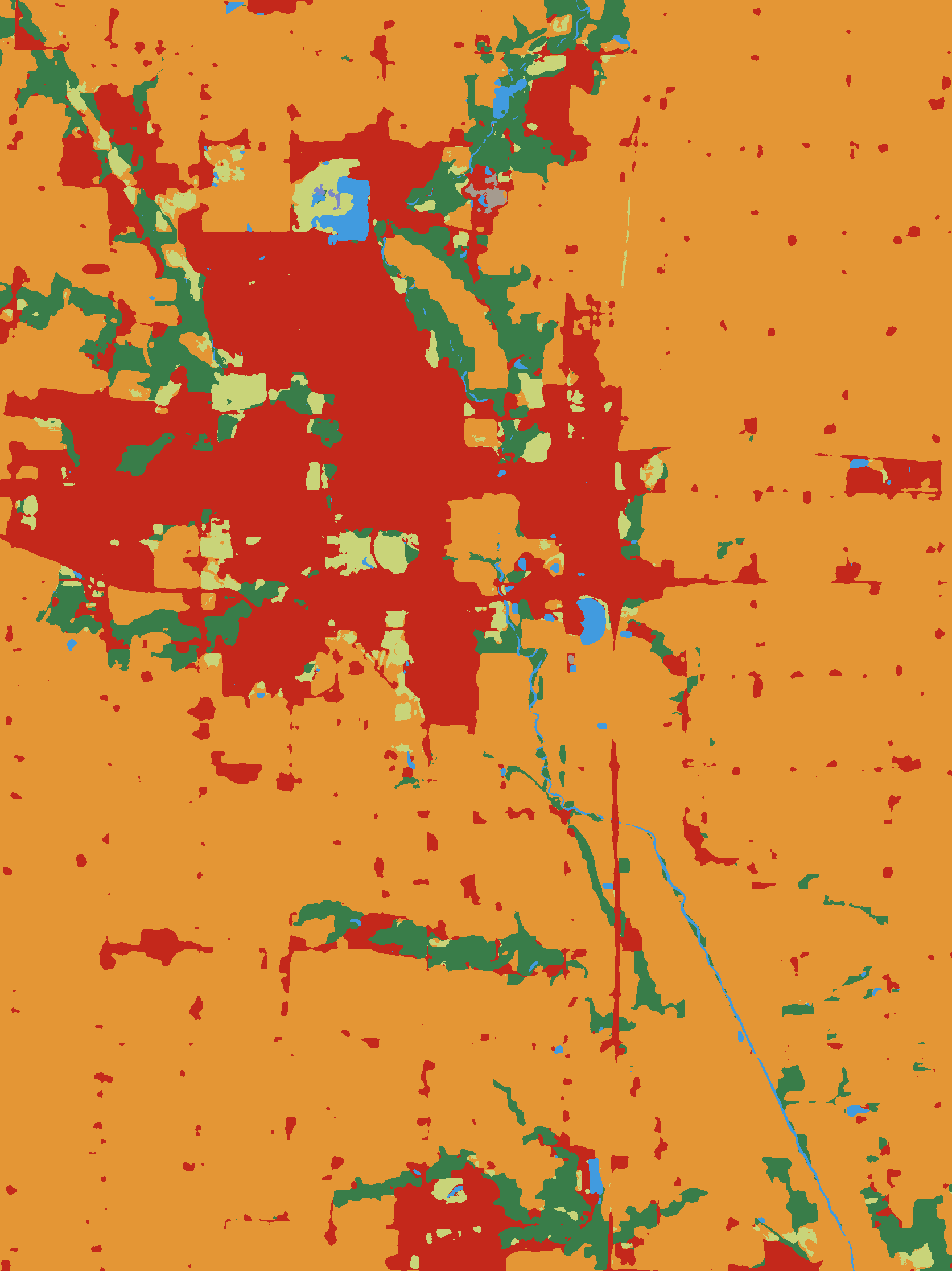
IO LULC
Iowa |

MS Buildings
Vector Data |
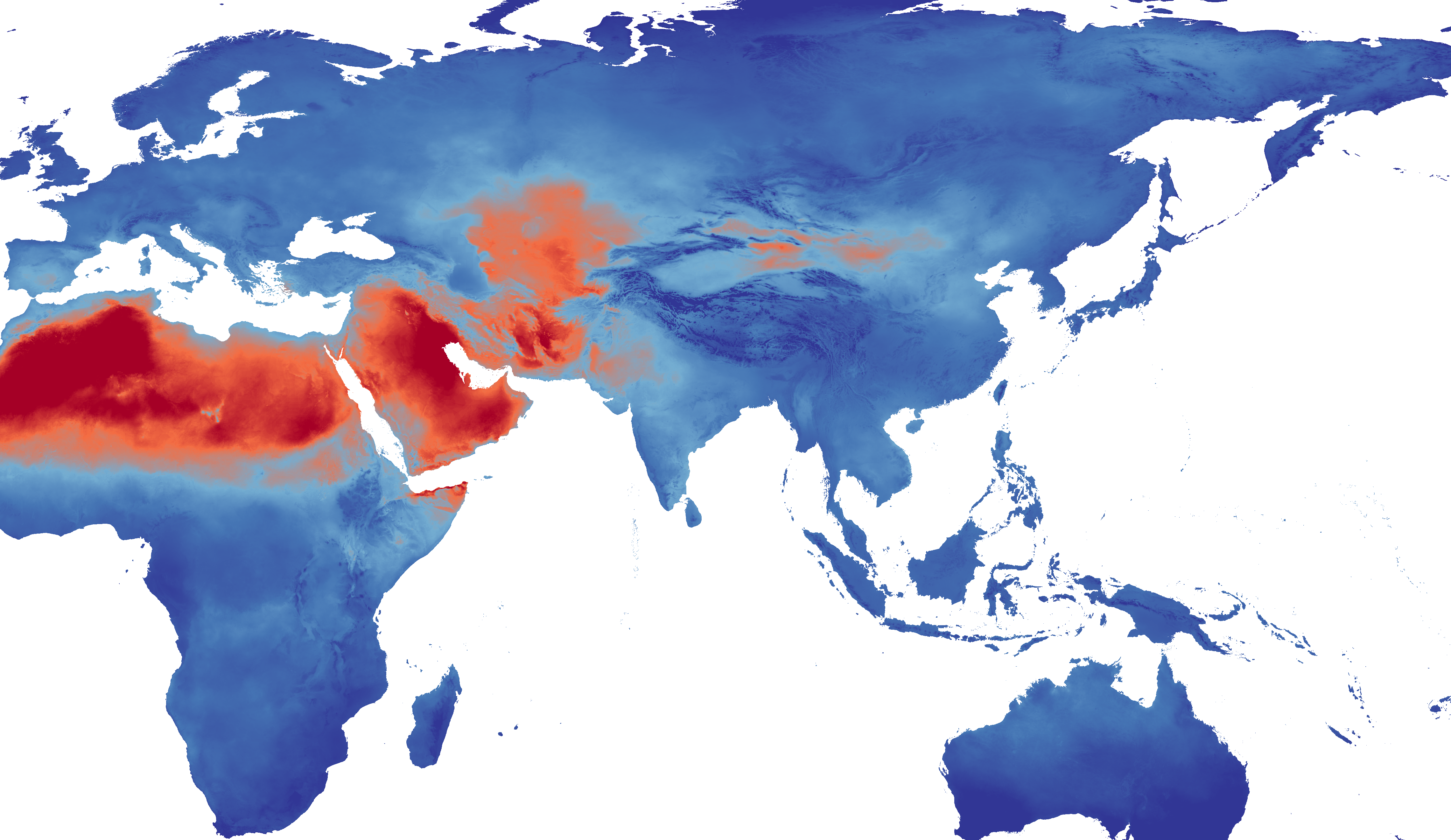
TerraClimate PET
Zarr Preview |
Features
- One-Click Setup: Automatically configures the MCP server in your VS Code settings
- Satellite Imagery Access: Query Sentinel-2, NAIP, Landsat, and HLS collections
- Geospatial Downloads: Download RGB images, multispectral bands, and vector data
- GitHub Copilot Integration: Works seamlessly with VS Code's Copilot Chat
- Real-time Processing: Auto URL signing and streaming downloads
Once configured, open Copilot Chat and use these tools:
download_data: Unified tool for raster, DEM, land cover, and climate data
- Natural language queries (e.g., "sentinel-2 imagery", "elevation data")
- Place names or bounding boxes
- Time range filtering
- Automatic RGB visualization generation
download_geometries: Download vector data with spatial filtering
- Building footprints, administrative boundaries
- GeoParquet format output
- Map visualizations
Example Usage
Ask your LLM Agent the following in Copilot Chat, Cursor, Claude Code, etc.
Download Sentinel-2 imagery over Seattle from June 2024

Get building footprints for San Francisco

Download elevation data for the Rocky Mountains

Find NAIP imagery of Miami Airport

Get land cover data for Iowa
The download_data tool automatically detects the dataset type from your natural language query and handles the appropriate processing pipeline.
Supported Datasets
See the main repository for the complete list of supported datasets and collections.
- Large downloads may take time due to data size
- Use smaller bounding boxes for faster results
- The server uses efficient streaming downloads to minimize memory usage
Implementation
This extension configures the Python-based Planetary Computer MCP server. For detailed information about the server implementation, supported datasets, and development:
License
Apache 2.0